Surveillance camera cartography
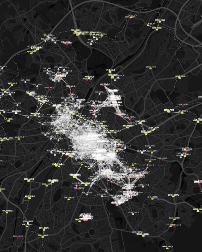
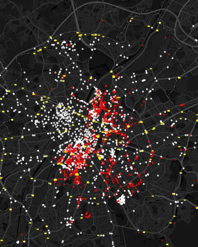
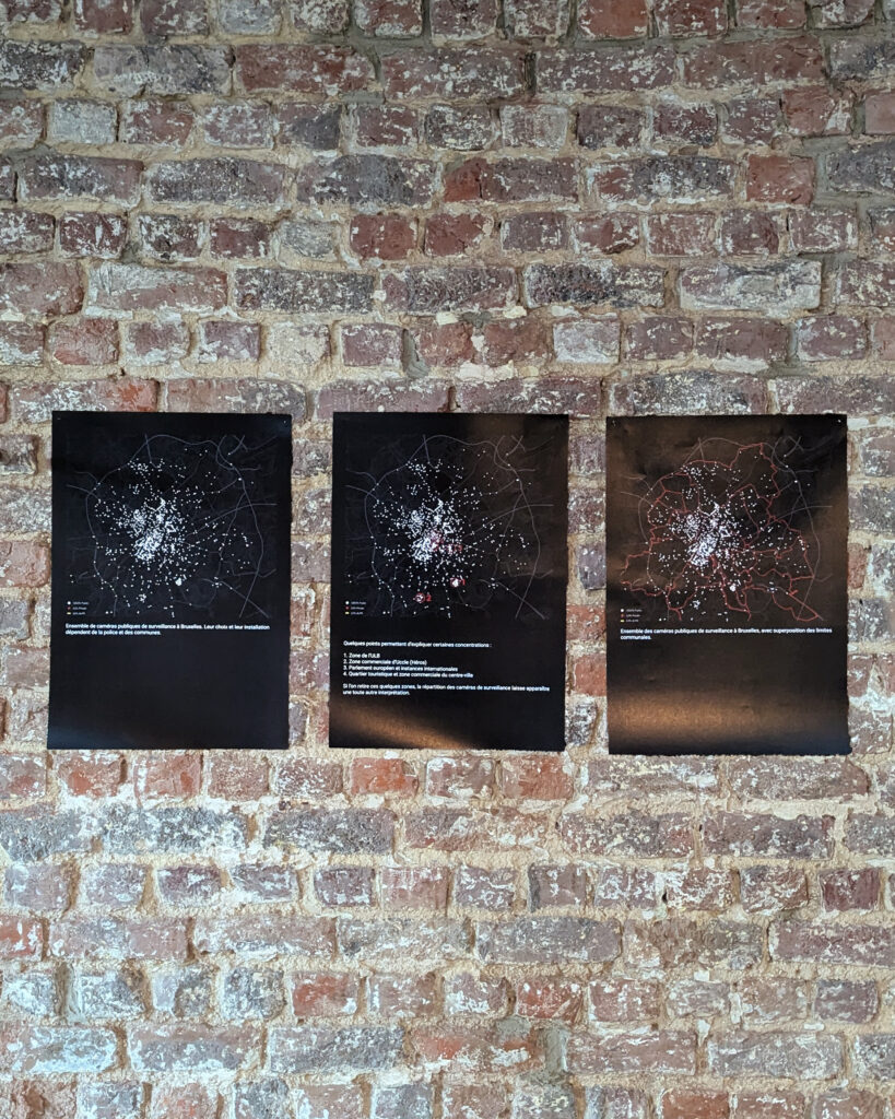
A dynamic data-visualization project that maps and represents surveillance cameras in Brussels. Based on open data and field mapping led by Technopolice, Radar generates interactive maps that highlight political choices, reveal the scale of mass surveillance, and directly question the viewer.
The project started as an installation for an event raising awareness about surveillance, titled “u look too sexy to be surveilled this much.” It later evolved through discussions with cartography researchers and Technopolice activists, and through different visualization formats, and continues to grow.
Opensource 3D files available here