Machine-learning map self-creation
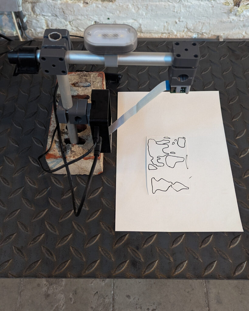
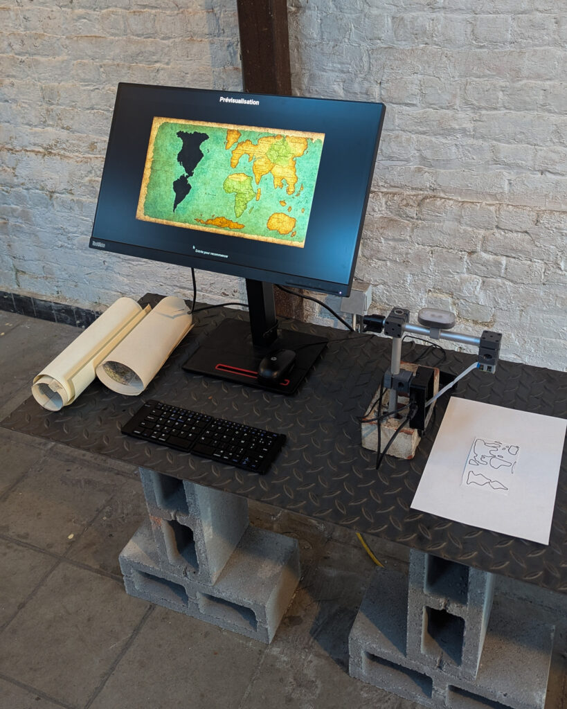
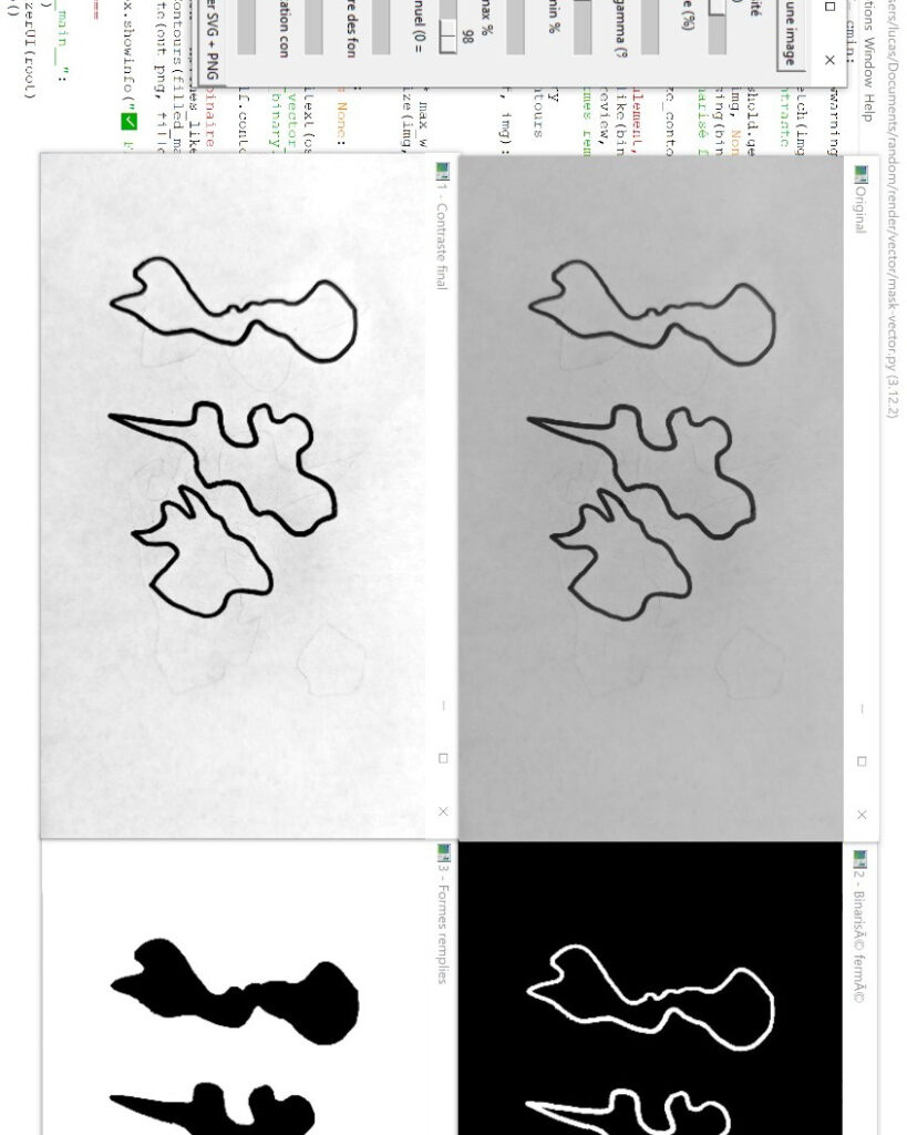
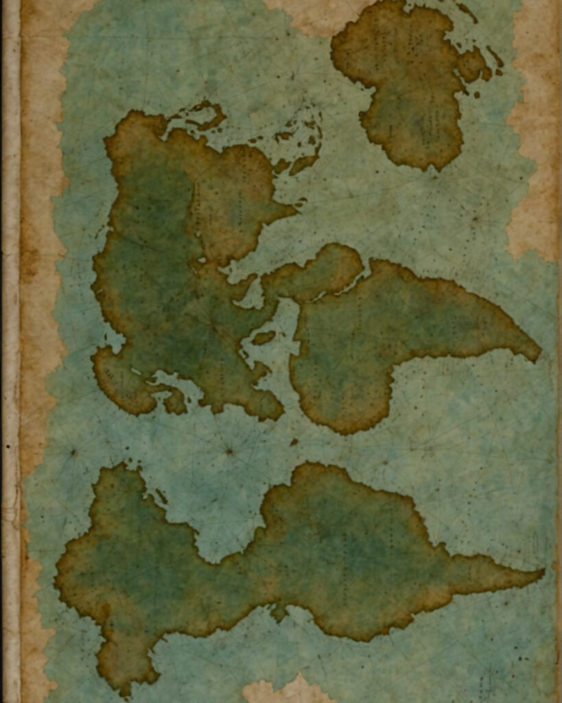
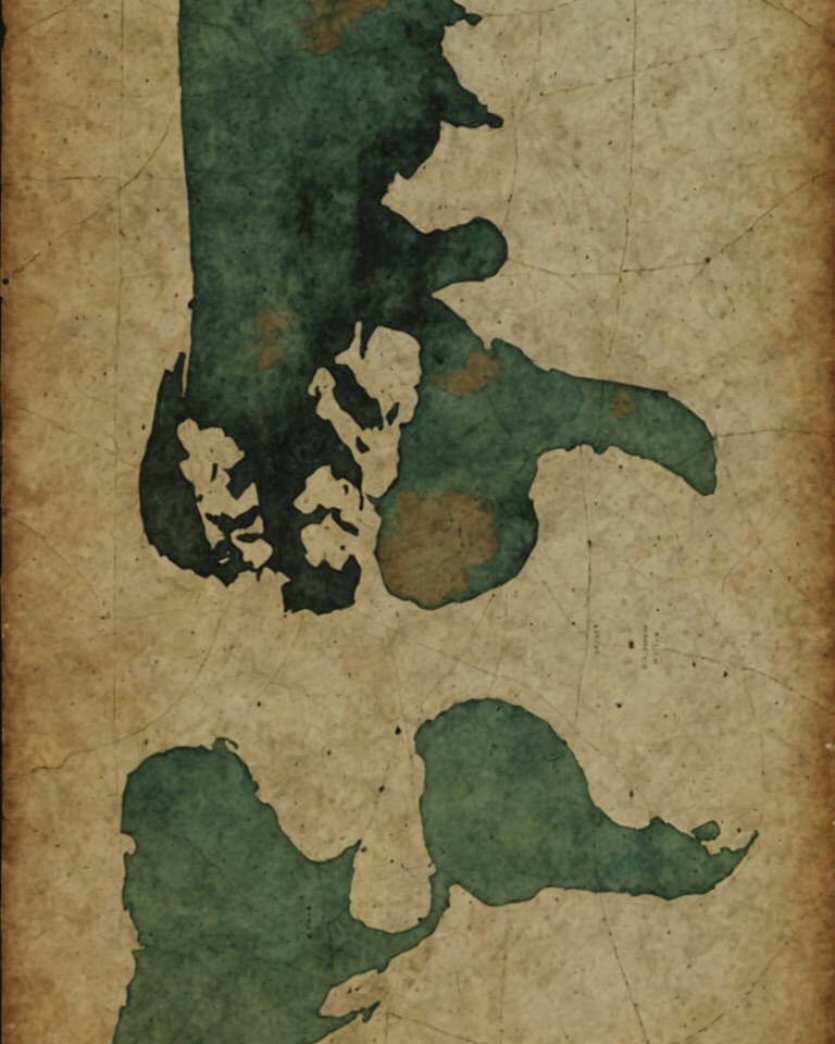
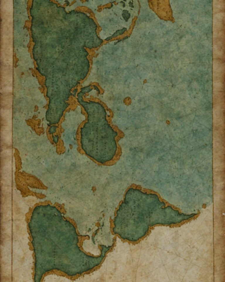
An interactive installation project that generates maps in a 17th-century style from hand-drawn sketches. Render highlights the choices and biases that have always existed in cartography and geography: everyone has a partial and oriented vision of territories, as in the Middle Ages, when Europe-centered maps imagined infinite continents or fantasized lands.
Inspired by antique maps, especially those from eras when a civilization only knew part of the world and had to invent the rest, as in Europe-centered maps from before the colonization of the Americas, the project also draws on an experiment asking different people to draw their own map of the world, which led to this 17th-century-style map-generation system.
Exhibited at: random distractions (2025)
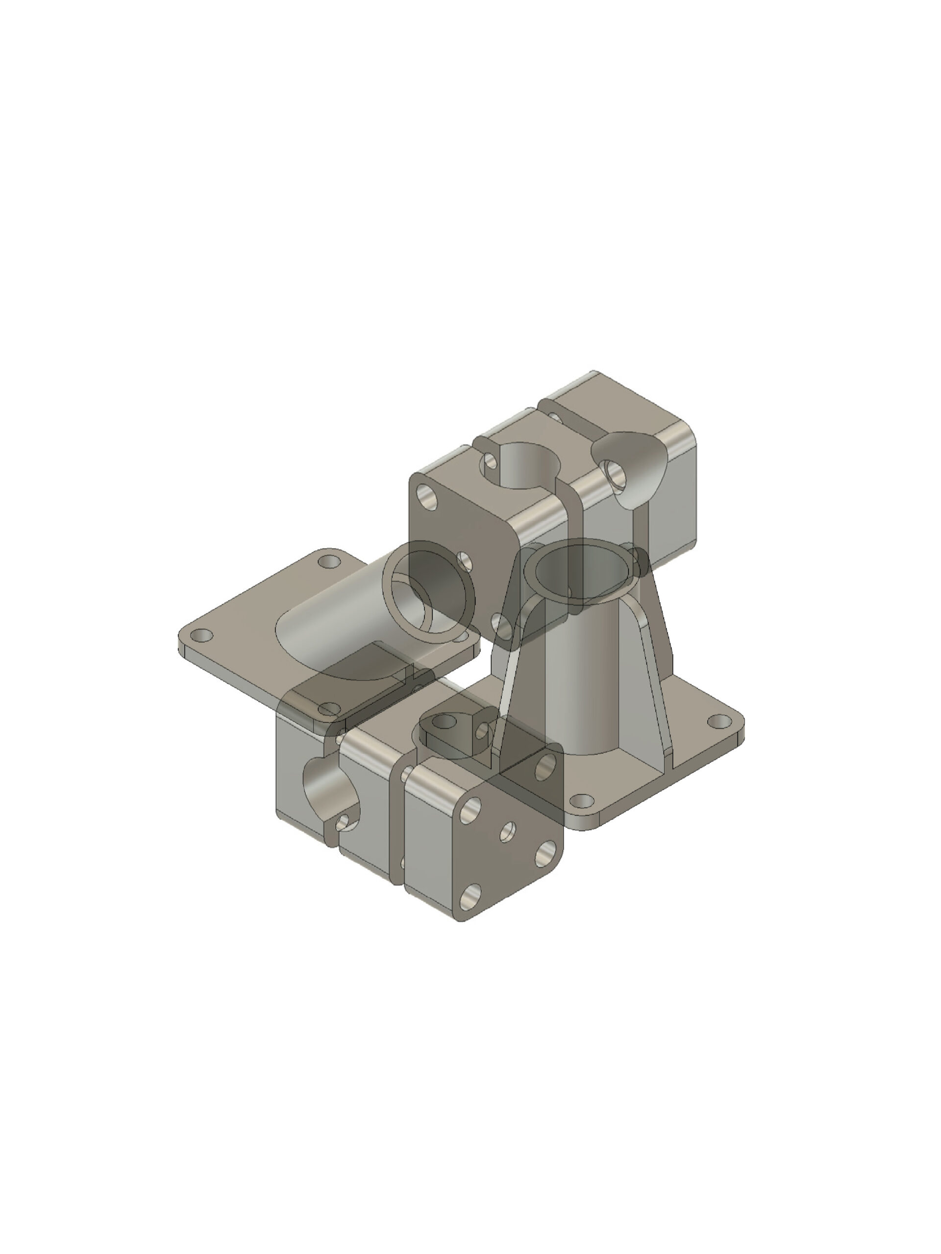
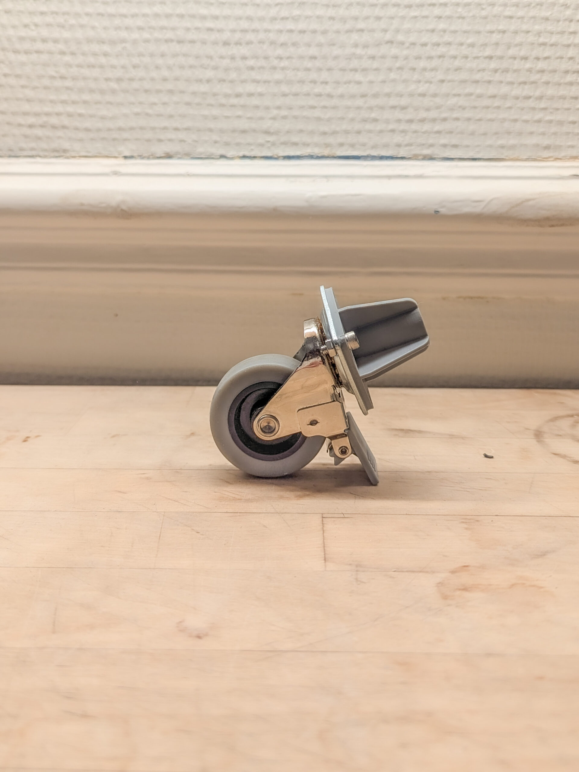
Opensource 3D files available here